I'm Pyare Lal, currently pursuing my Ph.D. at the Indian Institute of Science Education and Research, Bhopal (IISERB) in the Data Science and Engineering Department within the GeoAI4Cities Lab under the supervision of Dr. Vaibhav Kumar.
My research focuses on utilizing 3D Vision, LiDAR, Deep Learning, and geospatial data.
Publications
1. Pyare Lal Chauhan, J. Vijaywargiya and A. M. Ramiya, "Addressing class imbalance challenge in Semantic Segmentation of ALS data through performance analysis of RandLA-NET and PointNET ++," 2023 IEEE India Geoscience and Remote Sensing Symposium (InGARSS), Bangalore, India, 2023, pp. 1-4,doi: 10.1109/InGARSS59135.2023.10490326.Conference • 2023
2. Pyare Lal Chauhan, Tanishq Kumar Baswal and Vaibhav Kumar, "A Data-Driven framework for pedestrian oriented route planning leveraging deep learning and spatial perception,"International Journal of Applied Earth Observation and Geoinformation, Volume 144, 2025, Article 104932,doi: 10.1016/j.jag.2025.104932.Journal • 2025
3. Anurag Nihal, Pyare Lal and Vaibhav Kumar, "Urban multi-domain mixing (UMDMix) based unsupervised domain adaptation for LiDAR semantic segmentation,"Neurocomputing, 2025, Article 131526,doi: 10.1016/j.neucom.2025.131526.Journal • 2025
4. Ayush Dabra, Pyare Lal Chauhan and Vaibhav Kumar, "Deep Learning and Multi Source 2D and 3D Geospatial Data for Urban Quality of Life Assessment,"International Journal of Applied Earth Observation and Geoinformation, Volume 144, 2025, Article 104838,doi: 10.1016/j.jag.2025.104838.Journal • 2025
News & Awards
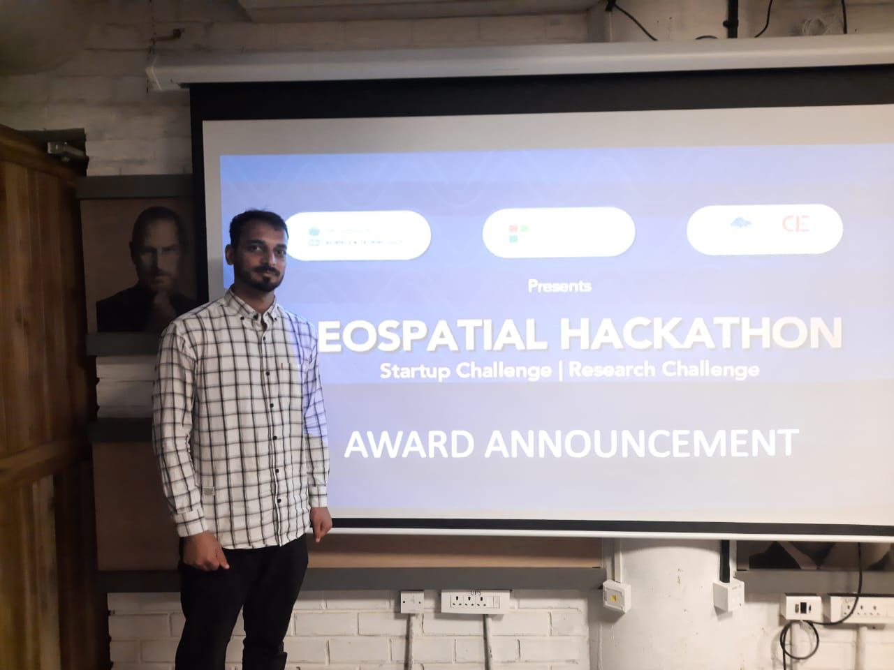
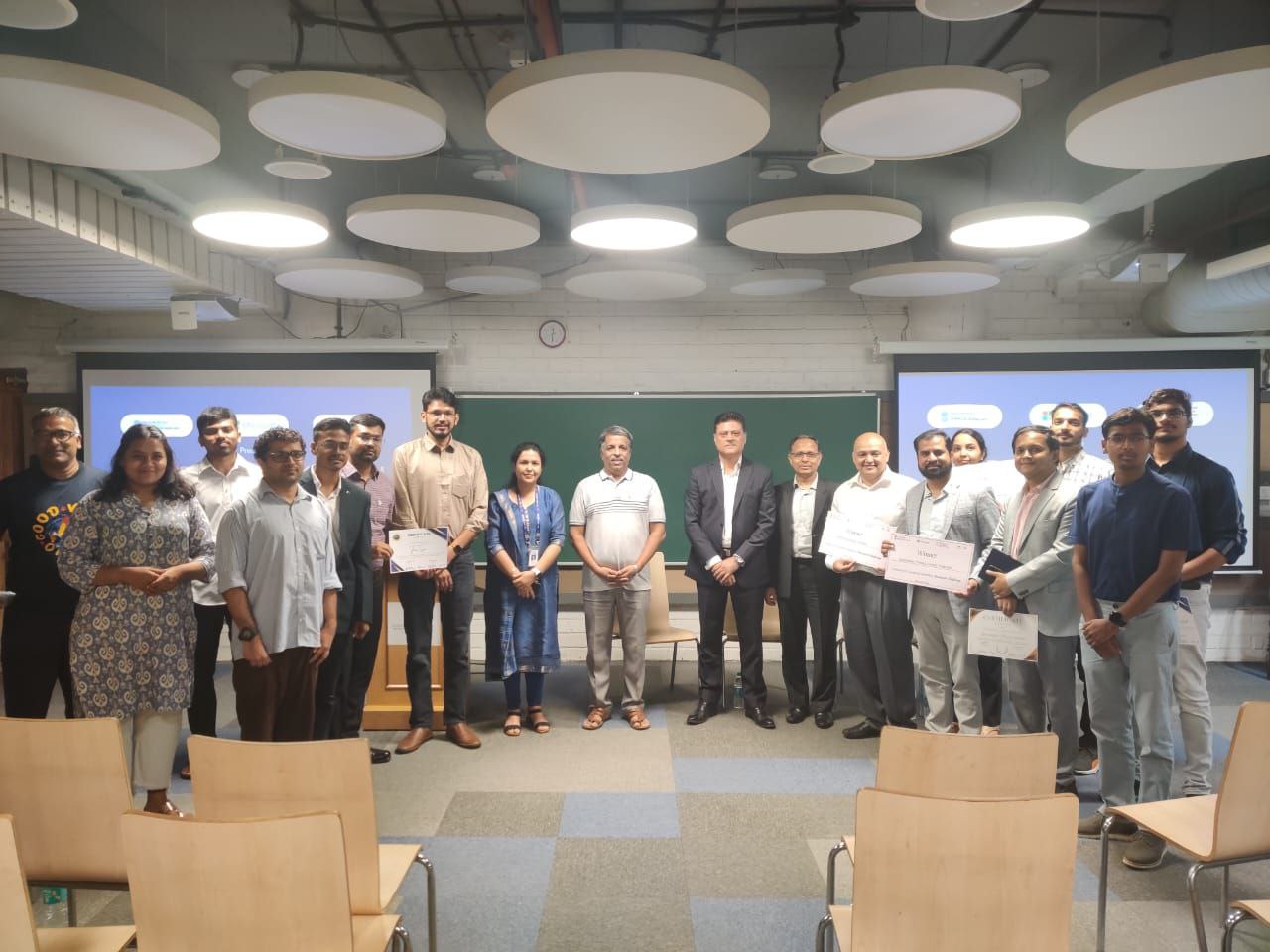
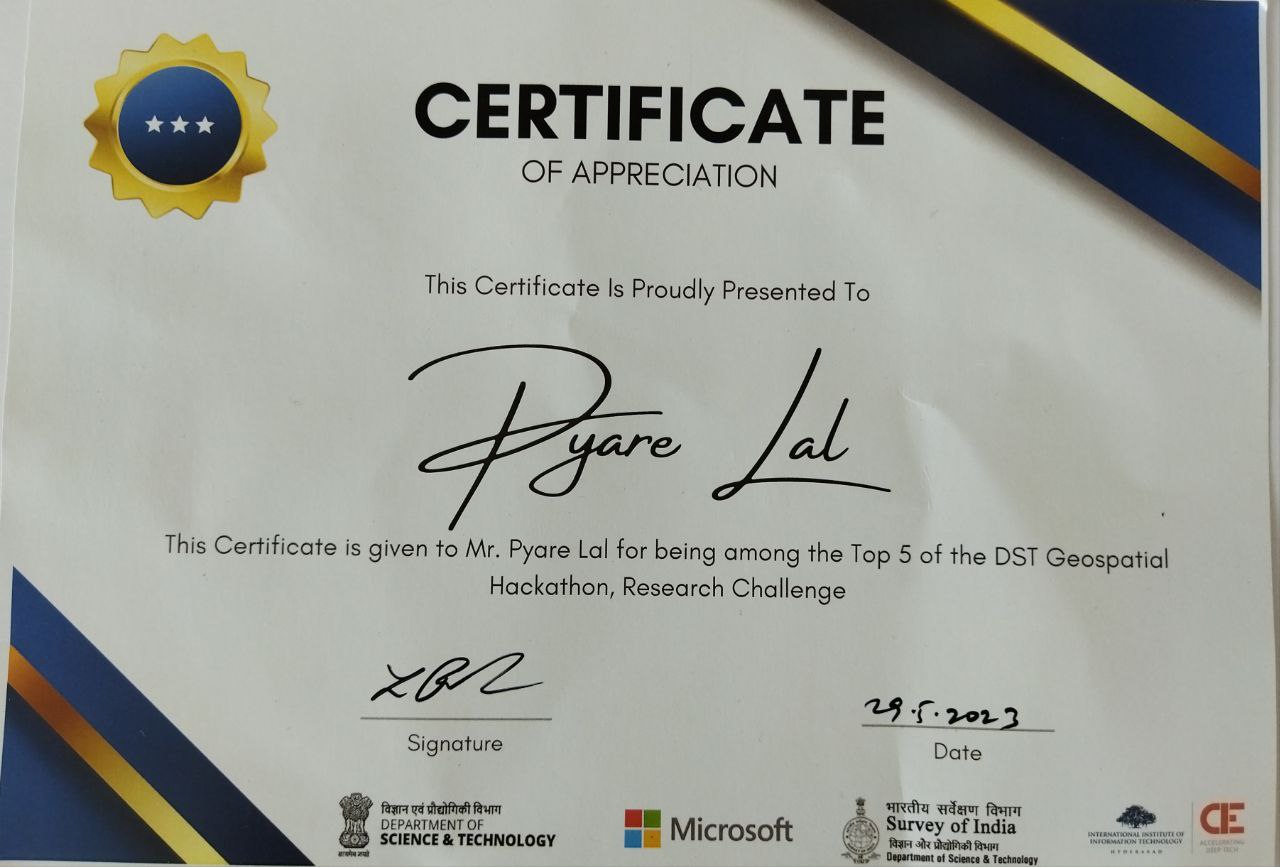
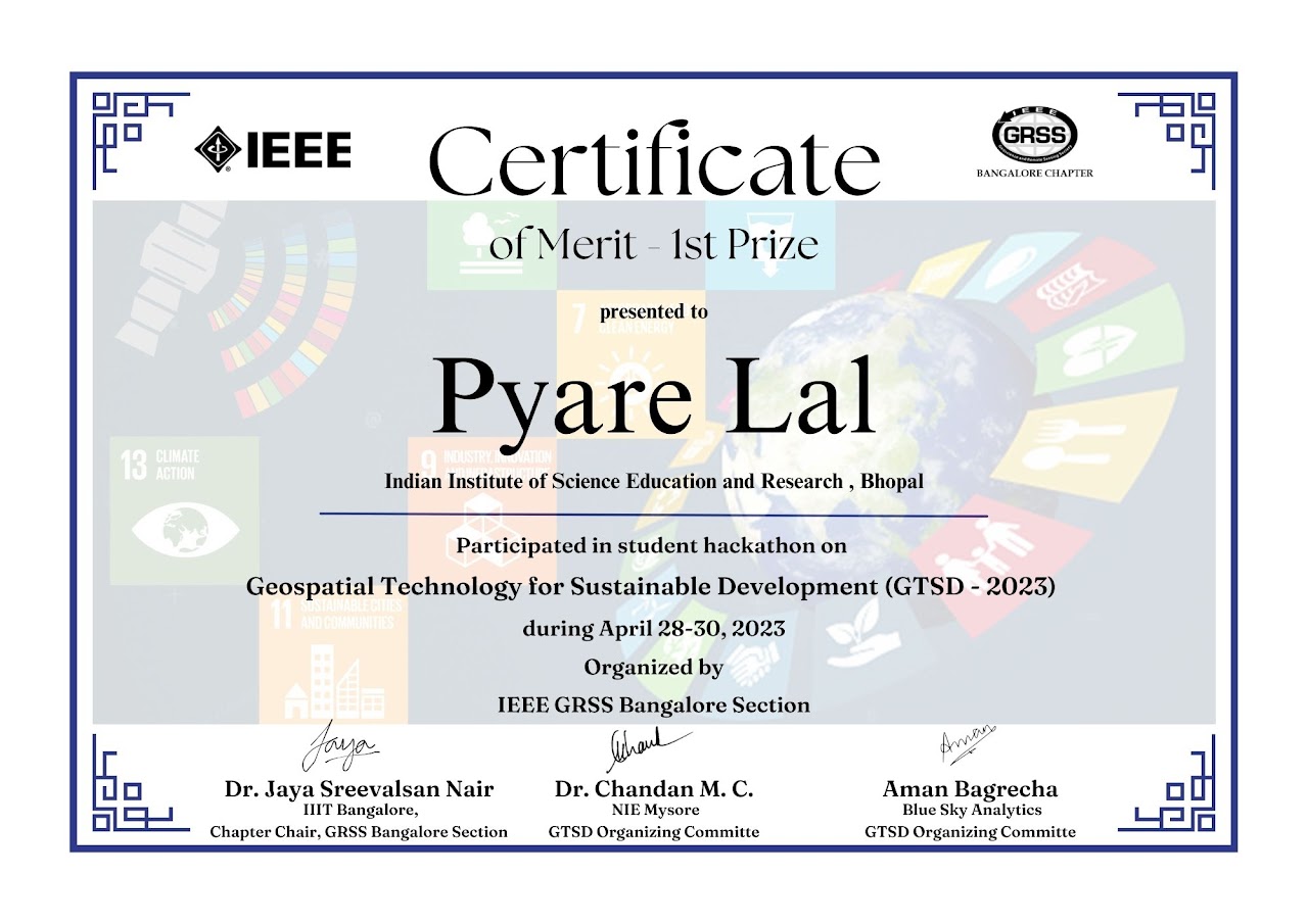
Geospatial Hackathon 2023
Selected in the Top 5 teams in the Geospatial Hackathon: Research Challenge, Conducted by IIIT Hyderabad in collaboration with Survey of India, DST, and Microsoft.
News coverage of the hackathon
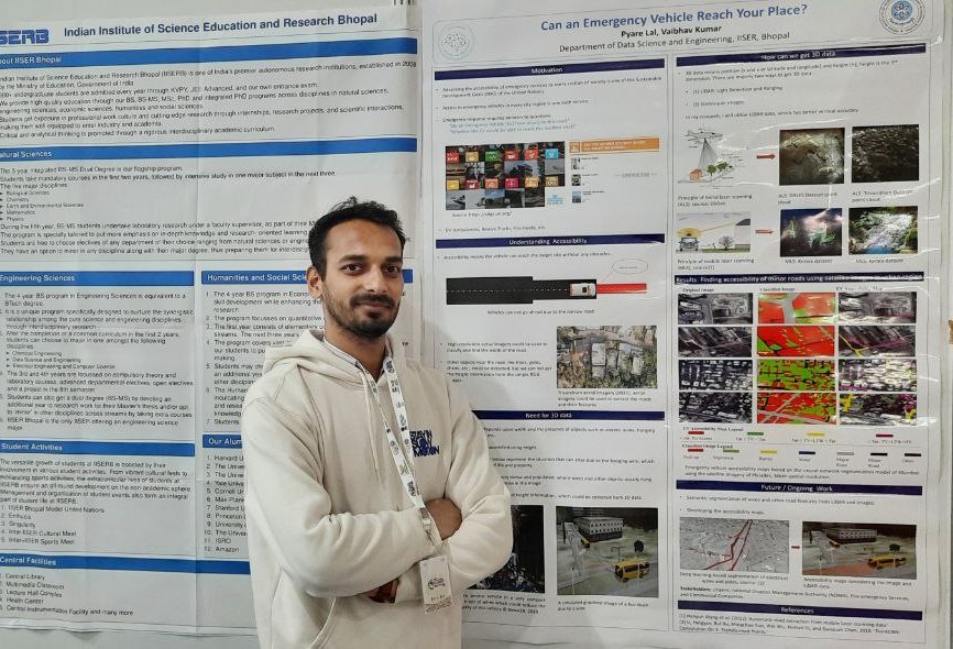
Some of the Outputs from hackathon
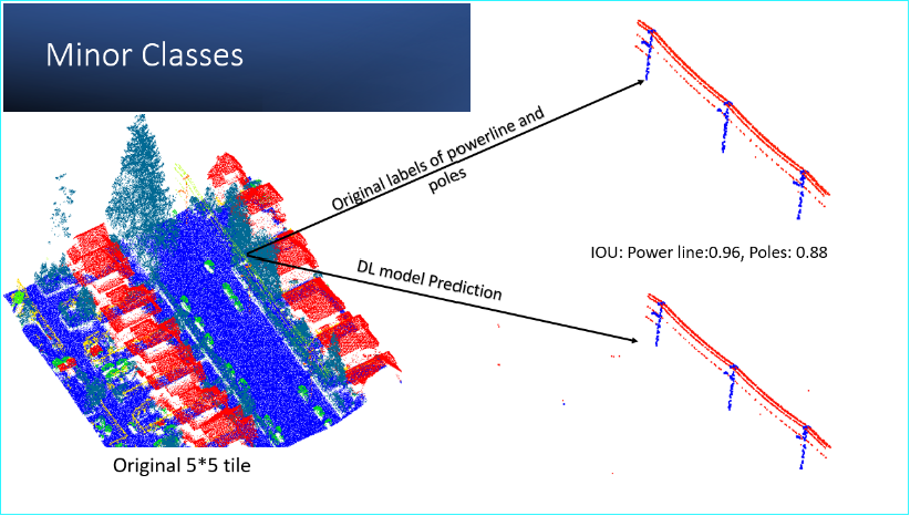
Minor Classes Segmentation
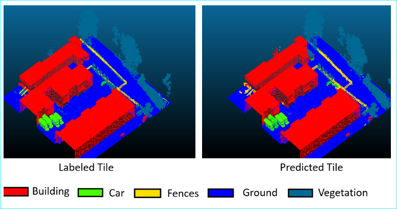
Point Cloud Segmentation
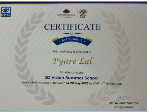
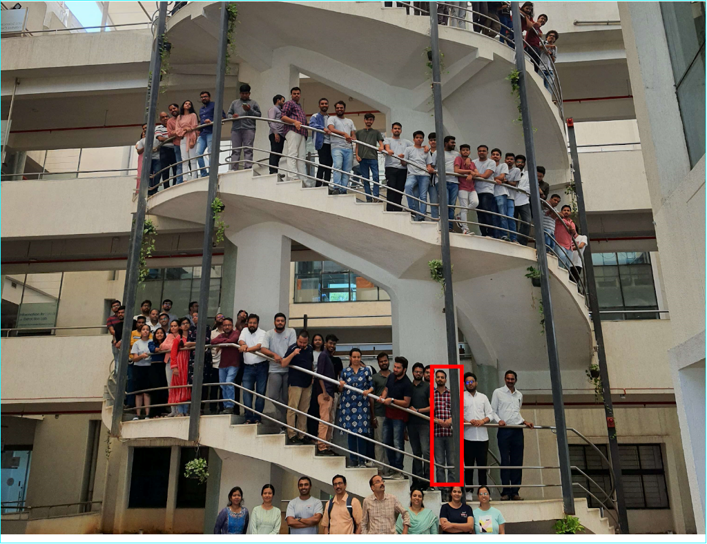
3D Vision Summer School at IIIT Hyderabad: 3DVSS 2023
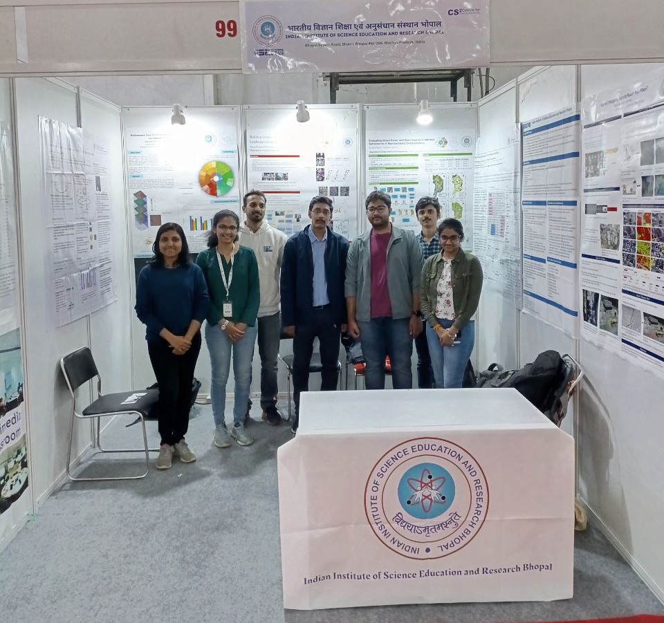
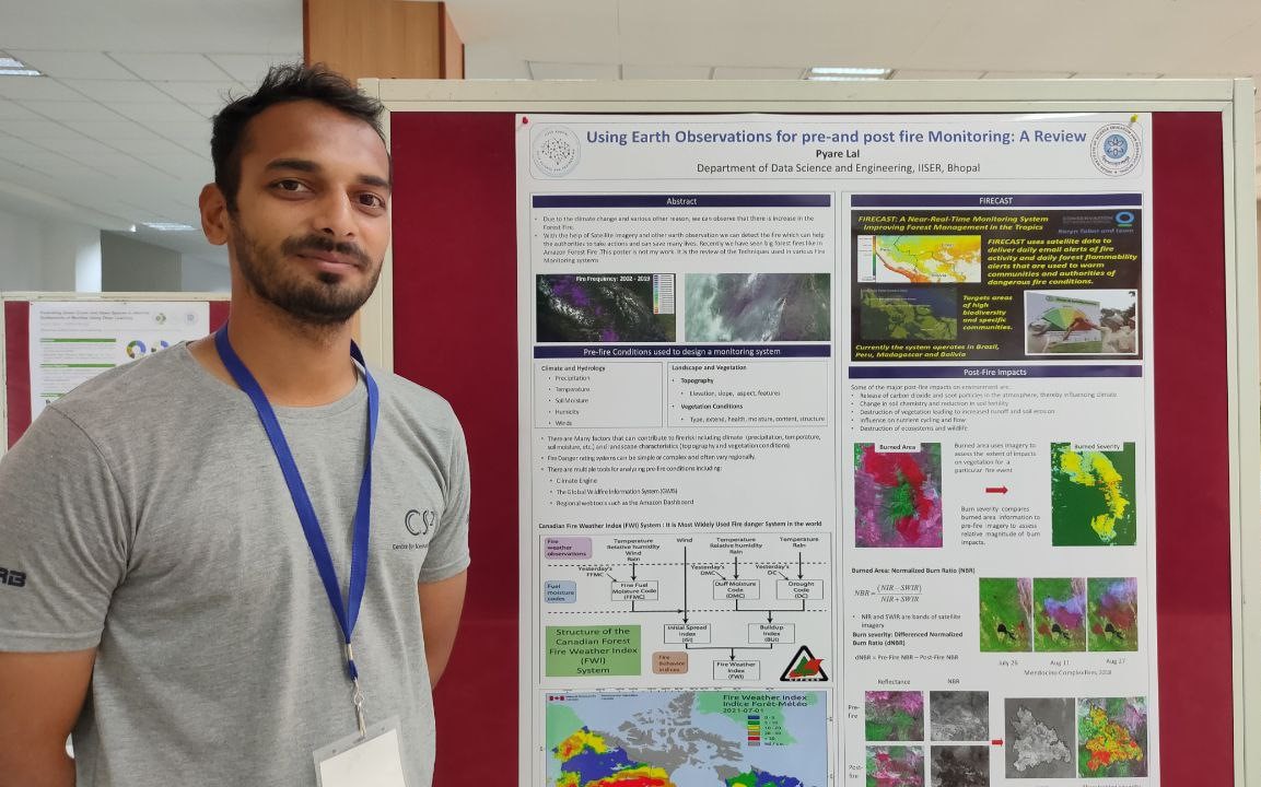
Open House: IISER Bhopal: Poster presentation and Experimentation
Education
Doctor of Philosophy (Ph.D)
Indian Institute of Science Education and Research, Bhopal, Madhya Pradesh
Data Science and Engineering
CGPA: 9

Master of Technology (M.Tech)
Indian Institute of Space Science and Technology, Thiruvananthpuram, Kerala
Geoinformatics
CGPA: 8.69
Bachelar of Technology (B.Tech)
SRM University, Chennai, Tamil Nadu
Civil Engineering
CGPA: 9.168

Experience
During my tenure as a Teaching Assistant for Artificial Intelligence, I undertook a range of responsibilities geared toward facilitating students' learning and growth. As part of this role, I meticulously prepared quizzes, designed coding tutorials, and diligently evaluated exams to assess students' understanding and progress in the subject matter.
- Research, find solutions, and implement solutions for real-world problems. Worked on Road network detection (research), Natural Disaster monitoring System (research), vegetation cover change, Sentinel-1 pre-processing
- Using python and pre-fire risk prediction with optical (Sentinel-2) and SAR (Sentinel-1) satellite image data
- Research work on Land use, Land Cover Classification, Post classification, NDVI and EVI Time Series Analysis using GEE.
- Tendering: technical and financial evaluation, site visits, making drawings, and estimate preparation.